Spatial tool to assist with water management decisions in the Murray-Darling Basin
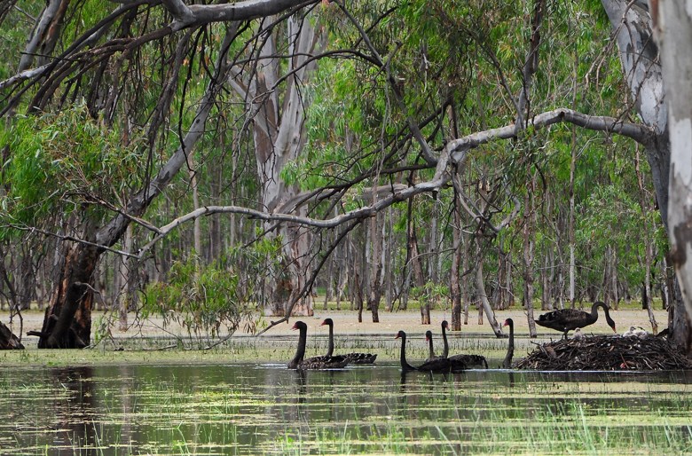
Image: Young swans leaving their nest. the breeding event was in response to a flood which is critical to support biodiversity. Photo credit: Tanya Doody The Challenge A new tool, based on ground observations of riparian woody vegetation evapotranspiration has been developed using remote sensing to aid water accounting and management in the Murray-Darling Basin. […]
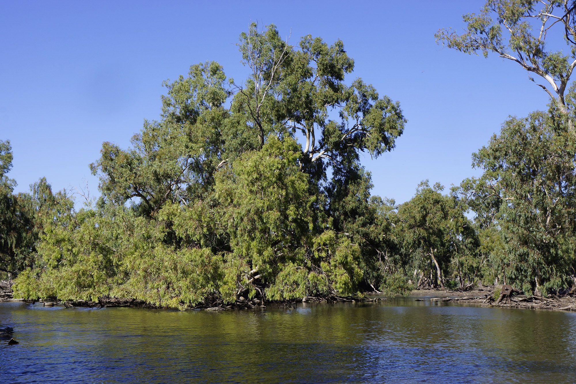
Response of riparian vegetation to drought and flood
The Challenge In the past, estimates of water requirements of floodplain trees were based on past hydrology and inundation trends rather than quantitative measurements to understand how trees use water (when, where from in the soil profile) and the drivers of tree condition. During the Millennium Drought, more than 70% of iconic red gum stands […]
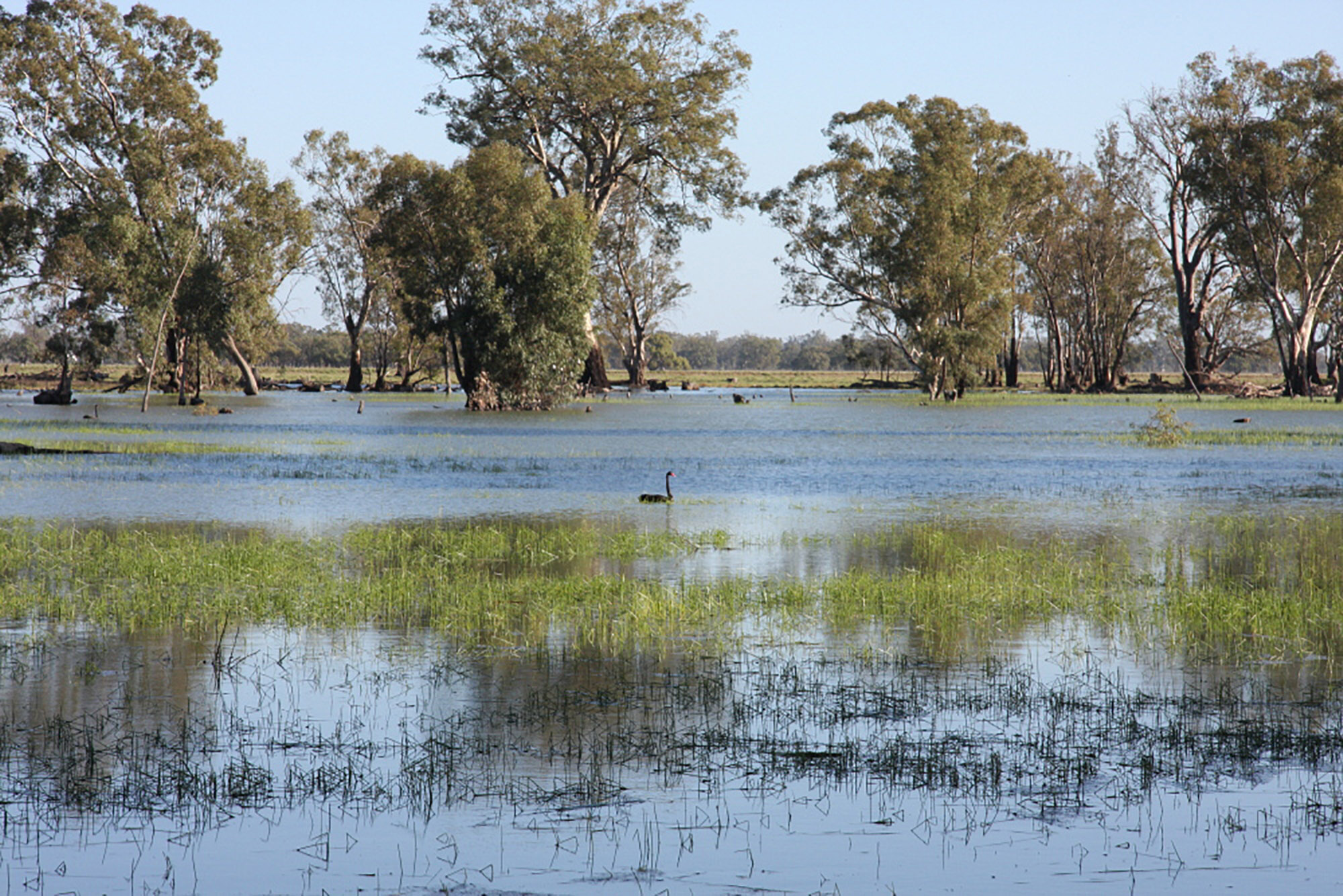
Unique, diverse and complex: The ever-changing face of wetland vegetation
Wetland vegetation is a critical component of both aquatic and terrestrial ecosystems. It provides habitat for a large array of animals and supports a wide range of ecological functions. Basin-scale monitoring and research projects are providing insights into just how diverse, unique and complex wetland plant communities are at a landscape scale. Floodplain wetlands in […]
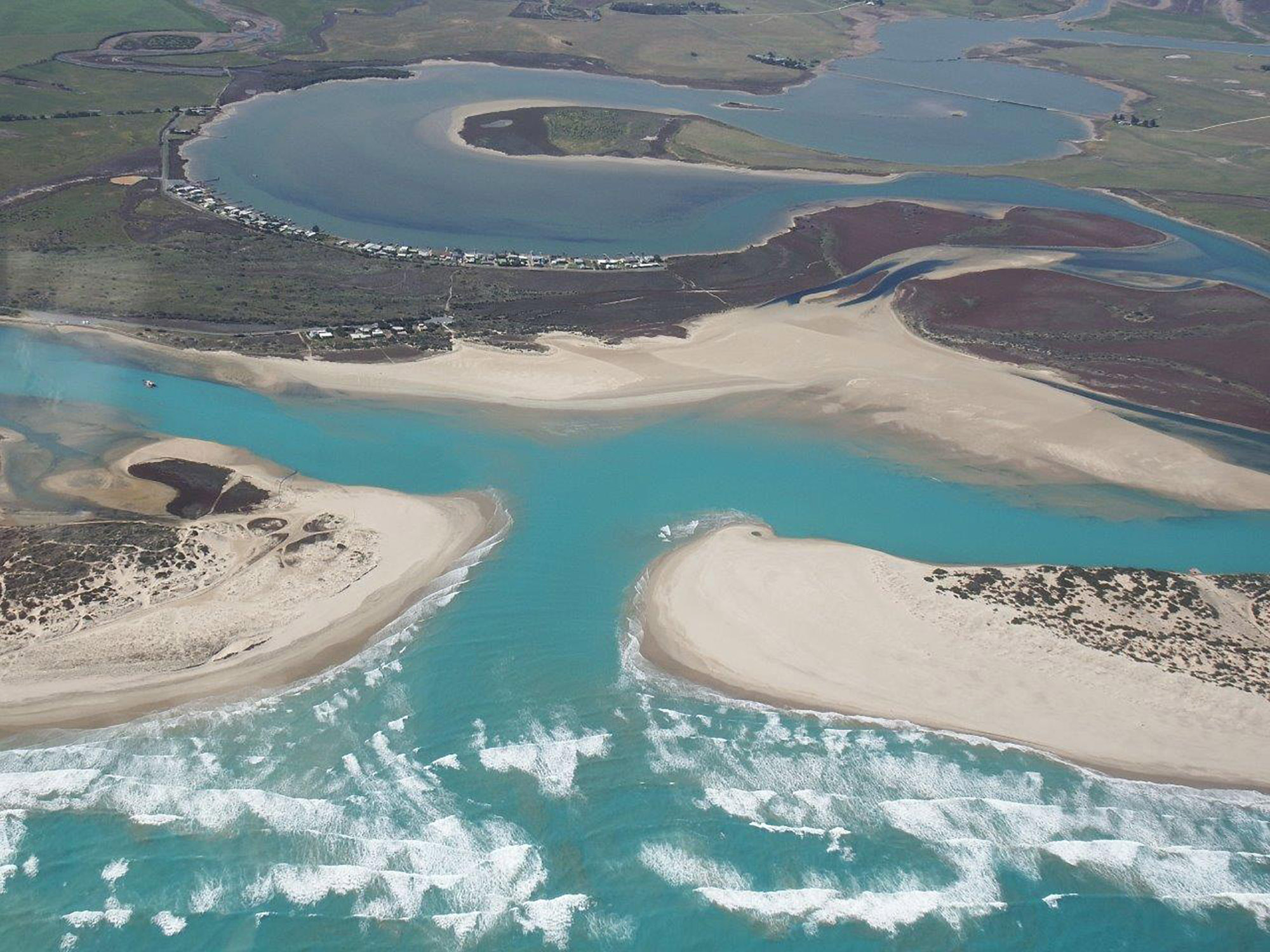
Contribution of environmental water to salt export
Flow over the barrages plays a key role in preventing or reducing seawater and salt coming through the Murray Mouth into the Coorong. Flow was relatively low in four of the last five years. Nonetheless, the results showed that environmental water increased salt export over the barrages during the five-year period of monitoring. Particularly, during […]


Recent Comments