Published by Lower Goulburn: Flow-Monitoring Evaluation & Research

Autumn Update | 2023
Reading the Goulburn River
Reading the Goulburn River
“Life is good, but it’s better on rivers.”
Explore the Lower Goulburn River as it changes through the seasons.
COVER STORY
Water, water everywhere!
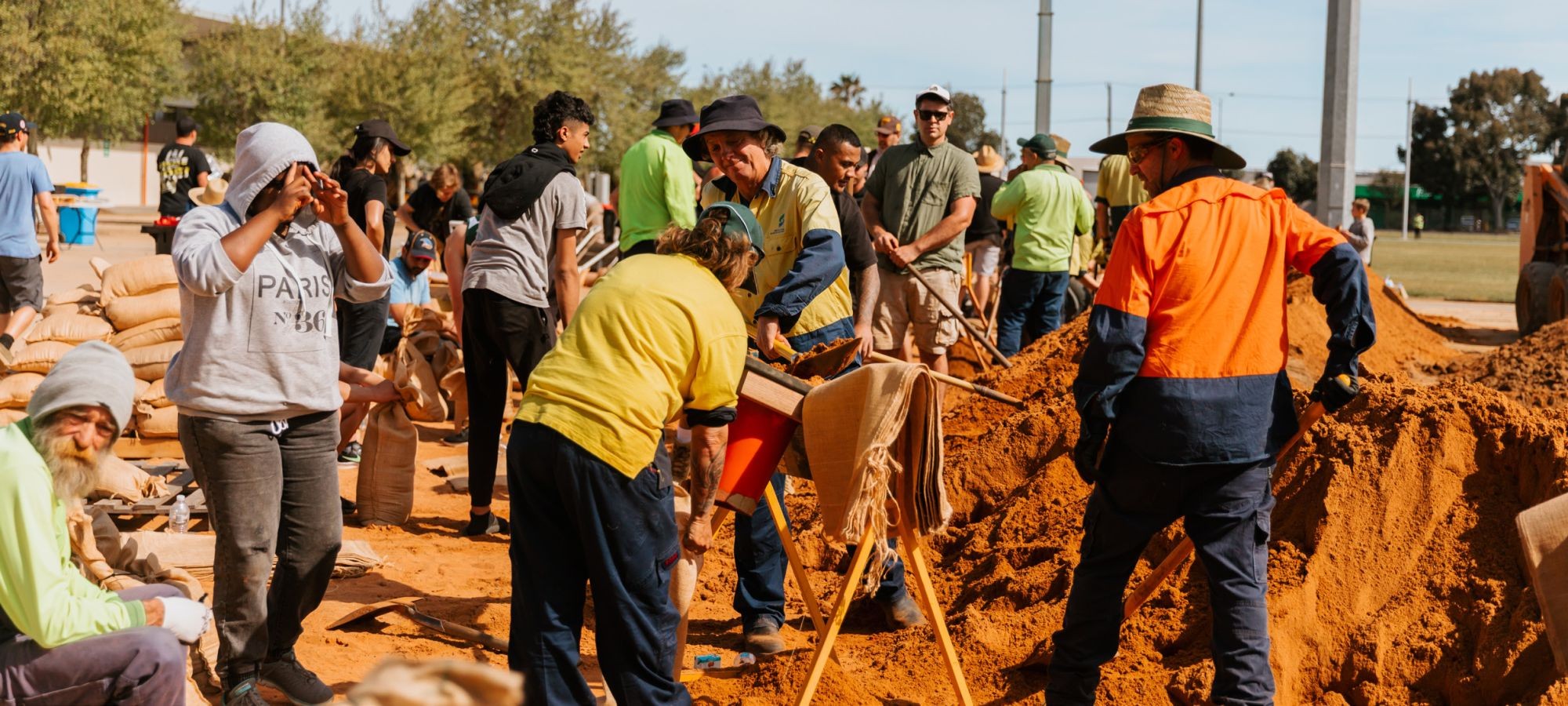
The Goulburn River system has recently experienced some of the most extreme flooding in its lifetime, with flows in November 2022 peaking at one hundred and ninety times the base-flow level commonly seen in the river. Flooding in this area has been challenging for local communities, and the clean-up, repair and support efforts have been inspirational. But what about the river? Well, this autumn, with the river returning to more familiar conditions, our Lower Goulburn: Flow Monitoring Evaluation and Research team are going to find out. We are particularly interested in understanding how the environmental flows delivered prior to the floods have helped the river build resilience, which is the ability of the fish, vegetation and waterbugs to bounce back after extreme events.

Flooding flows...
Flows within the Goulburn River usually fall below 9,500 megalitres (mg) per day, and are often around the 1,000 mg per day mark. The graphic below shows the scale of the flooding flows that have recently gone through the Goulburn River.

Associate Professor Angus leads our flow team and we asked him about what has happened in the Lower Goulburn with the recent floods.
Have a listen!
Flood Recovery underway
For further information about flood recovery, please go to Goulburn Broken CMA Flood Recovery page. Our National Parks are likely to remain closed for some activities for some time; their status can be monitored through the Parks Victoria website.
Typical daily flows – 700-1000 megalitres per day:
![]()
Operational limit – 9500 megalitres per day:
![]()
![]()
![]()
![]()
![]()
![]()
![]()
![]()
In November 2022, flooding is estimated to have peaked at approximately 190,000 megalitres on one particular day (!)
What's happening in the river this autumn?
Following the flooding of last year, conditions have returned to more familiar flows at around 1000 megalitres per day (February) and are expected to remain this way for a few weeks. Releases from Goulburn weir are also expected to remain reasonably consistent throughout March.
Widespread wet conditions in 2022 have meant that storages across the Murray-Darling Basin are full, and high flows continue to move from the Darling/Baaka system into the Murray. An Inter-Valley Transfer is planned to commence the week of the 20th of March which will be a fresh of 3000 ML/day over 14 days.


Autumn outlook:
| March | April | May | |
| 27.5 | 22.6 | 17.6 | |
| 12.5 | 8.7 | 5.6 | |
| 32.5 | 37 | 34.1 | |
| 3.2 | 3.8 | 5.3 | |
| 2,400 ML/d | 1,400 ML/d | 2,400 ML/d |
The Bureau of Meterology has posted their autumn outlook which is indicating warmer and drier conditions for south eastern Australia. For our region, this could mean less inflows and increasing demands from water users both locally and downstream along the Murray River. See the Bureau’s March-May outlook here.
Will we be using environmental flows?
We caught up with Angus to ask him what was likely to happen in the river over this autumn, and the part environmental flows might play in helping the river recover from the floods.
Environmental water managers will be looking to build on outcomes delivered from the high flows and flooding last year. Water for the environment will be used to maintain baseflows in the river at approximately 1,000 megalitres per day throughout autumn, providing a wide range of riverine habitat for the system.
What are we going to be investigating?

Our fish ecologists will be using electrofishing and fyke nets at 10 locations to find out about changes in the numbers and type of fish in the river.
![]()
Our macroinvertebrate team are going to be looking at the biomass (amount) and number of waterbugs, yabbies and shrimp in the river.
![]()
Our vegetation ecologists will be assessing the amount and types of vegetation on the riverbank and in the river.
![]()
Our metabolism and water quality team are measuring the productivity of the river to see how it is recovering from the floods.
![]()
Our geomorphologists are surveying the banks and bars to see how the river is changing in the short and long term (especially after last years floods).
The map below shows where we will be doing our monitoring.


Get to know the flows in the Goulburn River
The Goulburn-Broken CMA has developed a live hydrograph so that you can see whether flows in the river are operational flows including Inter-Valley Transfers, or water for the environment.
See what the hydrograph looks like below and visit the live website to explore.

What can you look out for, and where?

What’s flowering?
The Willow Wattle (Acacia Salicana) is a large shrub or small tree which can grow up to 20m and can often be seen by the river or with black-box trees. It’s leaves are irregularly formed on slightly zig-zagged branches. Flowering from autumn to winter, the seed pods are thick and woody once formed. Keep your eyes peeled for the Willow Wattle flowering in autumn.

Golden Perch on the move?
Golden perch, or Yellowbelly as they’re commonly called (Callop, if you find yourself in South Australia) are known to move over hundreds and even thousands of kilometers. In autumn, flows in the river will be used to try and attract these amazing fish up into the Goulburn River from the Murray River so they can spawn. The river briefly rises in autumn to try and entice these amazing fish into our river.
For more about the research we are doing on the Lower Goulburn River through our Flow-MER Program click here.

Keep an eye out for the White-faced Heron
As you walk along the banks of the Goulburn River, you may spy the white-faced heron gliding through the air, or patiently perched above the water looking for their next feed of fish, insects, small reptiles or frogs. Usually (but not always) breeding in spring, male and female white-faced herons share the load when it comes building the nest, incubating the eggs and caring for the young.
Exploring your river on foot
Shepparton Goulburn River Walk
Time: 55m
Length: 3.69km
Difficulty: Easy
This walk encompasses parts of the Yahna Gurtji Shared Pathway, meaning “Come walk with me friend,” and follows the majestic Goulburn River. A 2.2km walk along the Goulburn River to Cudgee Park or 3.6km to Jordan’s Bend (one way). This walk is on designated bitumen, footpath and granitic sand track/trail with parts being loose gravel. Terrain is generally flat with a few undulations.

Note: There are no water facilities and limited accessible seating along the path. The walk has access to geocaches in close proximity. Parts of this walk are not accessible during times of flood and please be aware of snakes during the warmer months.
Autumn events
What next? Preparing for flood recovery and revisioning
As groups discover a ‘new normal,’ it’s good to reflect on what has been learnt and how things have changed. Now is the time to think about how to engage with members and stakeholders over the next year.
When: Thursday 16th of March, 2023,at 6:00pm 8:00pm
Where: Online
Cost: FREE
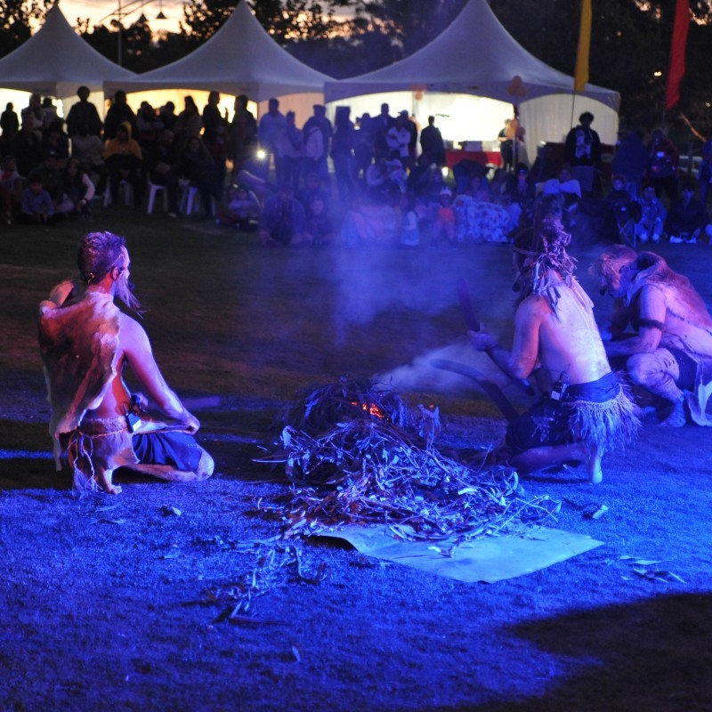
Converge on the Goulburn
A huge annual celebration of Greater Shepparton’s indigenous and multicultural communities, featuring music and dance, authentic cultural and culinary delights and interactive kids activities with the stunning backdrop of Shepparton’s Victoria Park Lake. Held in March each year.
When: Fri, 17 Mar 2023 (6:00pm – 9:00pm) & Sat, 18 March 2023 (4:00pm-10:00pm)
Where: Victoria Park Lake, Shepparton
Cost: FREE
Tuned to the River
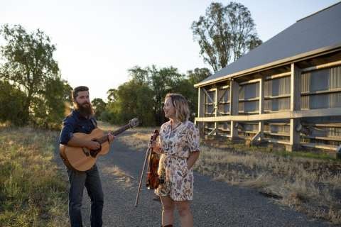
A walking performance like no other Join musical duo Broken Creek and RiverConnect for a special walking performance to experience the Broken River environment like never before. Erin (violin/vocals) and Lachlan (banjo) will perform folk music and original compositions inspired by the local landscape at stops along the walk. Learn about the location, listen and be part of the environmental soundtrack.
When: Sat, 25 Mar 2023 Saturday 25th of March, 2023,at 10:00am – to12:00pm
Where: Starting on the Eastern side of the pedestrian bridge over the Broken River Kialla and concluding downstream at the new pedestrian bridge near the Australian Botanic Gardens Shepparton.
Cost: FREE
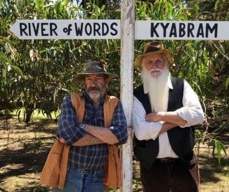
Bush Poetry Along the River
Poetry inspired by nature What do Banjo Patterson, Dorothea Mackellar, Henry Lawson and a score of talented writers and orators all over Australia have in common? A love of Bush Poetry!
When: Sun, 26 Mar 2023 Sunday 26th of March, 2023,at 10:00am – to12:00pm
Where: Meeting at the Confluence of the Goulburn and Broken Rivers (a 600m walk along shared path network from corner of Lincoln Drive and Hassett Street Shepparton)
Cost: FREE
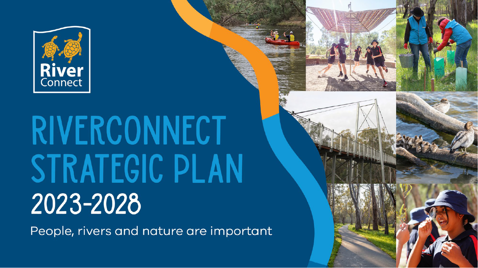
RiverConnect Strategic Plan Launch 2023-2028
RiverConnect is a wide-reaching and highly celebrated partnership program that aims to foster the community’s love, respect and connection to the river environment. The RiverConnect Strategic Plan 2023-2028 refreshes the focus of the program, reflecting the holistic nature of river systems, and the interconnected nature of the community’s relationship with the waterways.
When: Thu, 30 Mar 2023 Thursday 30th of March, 2023,at 10:00am – to11:30am
Where: Shepparton Golf Club, 15 Golf Drive, Shepparton, 3630
Cost: FREE (Registration required)

The Goulburn River is known by several names as it travels first through Taungurung country in the hilly upper and middle reaches. Here, the river is called Waring.
As the river meanders downstream of Murchison and into the northern flatlands, the river winds through Yorta Yorta country. Here the river runs through Yorta Yorta country and is called Kaiela, meaning ‘father of waters’. Eventually, the river flows to a confluence with the River Murray near Echuca. This confluence of rivers is known as Koninner.
We acknowledge the Traditional Owners of the country this story has been written about – Taungurung and Yorta Yorta. We pay our respects to elders past, present and emerging.
Artwork credit: Wiradjuri Artist Rebecca Salcole
Thanks for reading this Autumn edition of the Goulburn Broken Seasonal Calendar.
Please subscribe here to receive the Winter edition in your inbox.