fbpx

Sounds of Narran: waterbirds calling at Narran Lakes (Dharriwaa) on the Lower Balonne floodplain

By UNSW Centre for Ecosystem Science

Featured image: Lower Balonne Flow-MER waterbird survey (L-R) Jennifer Spencer and Jo Ocock, Aug 2024.
Credit: Dr. Kate Bandis, UNSW

Initial data has been retrieved from acoustic recorders as part of the University of New South Wales (UNSW) Centre for Ecosystem Science’s Lower Balonne Flow-MER waterbird studies. Around two weeks of data from the 14 August through to 5 September 2024, was retrieved from three acoustic recorders installed at Narran Lakes’ Back Lake, Long Arm and South Arm.

The team then used Cornell University’s BirdNET artificial intelligence models with coding and R (a programming language used for data analysis) to run the analyses and provide the preliminary findings. A total of 190 species were identified with a >50 per cent confidence in accuracy. Of these, the presence of 138 species is supported by observational records from past surveys and historical records.

The diversity at each site was similar. Numbers at each site where:

  • Back Lake – 129 species, 15 unique to this site
  • Long Arm – 131 species, 17 unique to this site
  • South Arm – 145 species, 25 unique to this site.

Sounds of Narran

Listen to a snippet of data recorded as part of the acoustic monitoring. Some of the bird calls heard during the recording include little grassbirds, black swans, Eurasian coots, pied stilts (a flock flying over) and Australian reed warblers.

The team will now undertake further analysis including listening to call records for those species that were identified as questionable.

Over time, with each additional data retrieval, the researchers will be able to study changes in species composition at each site in relation to the season, weather conditions and water abundance.

The amount of data that will be collected during the project is expected to be so vast that UNSW’s High-Performance Computing system will need to be used for the analysis.

Learn more about the Lower Balonne Flow-MER program below.

Aerial view of Narran Lakes wetlands with water and vegetation, and a cloudy sky in the distance.
Aerial view of Narran Lakes wetlands. Photo credit: 'Shot by Harro', on behalf of UNSW.
Edge of Narran Lakes showing vast numbers of white Australian Pelicans in the blue water and sandy-coloured land.
Narran Lakes during an Australian Pelican breeding event, March 2023. Photo credit: 'Shot by Harro', on behalf of UNSW.

A bit about the Lower Balonne Flow-MER Program

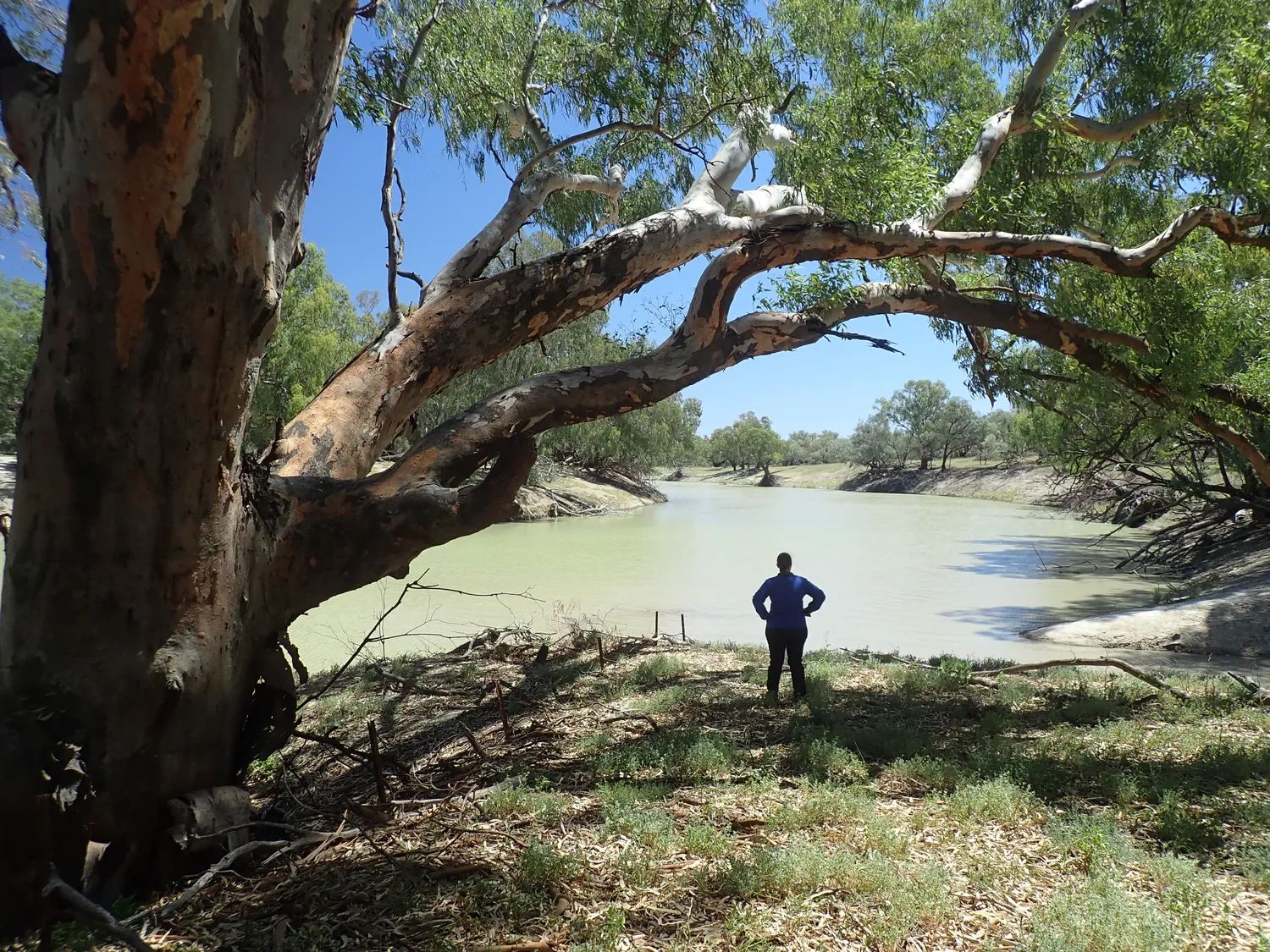
The Centre for Ecosystem Science at UNSW is undertaking monitoring, evaluation and research on behalf of the Commonwealth Environmental Water Holder in the Lower Balonne River system including the internationally significant, Ramsar-protected Narran Lakes (Dharriwaa).

The Lower Balonne Area encompasses the Lower Balonne Floodplain. It supports the largest number of wetlands of any catchment in the Murray–Darling Basin and makes up two-thirds of the Condamine–Balonne Valley, one of the largest catchments in the Basin.

New to the Flow-MER program in 2024, the Lower Balonne Area covers two million hectares across Queensland and NSW and is home to the Culgoa, Balonne, Condamine and Narran rivers and adjacent floodplains and wetlands. It includes the internationally significant and Ramsar-listed Narran Lakes (Dharriwaa).

Two maps. One larger map showing the Lower Balonne area across both southern Queensland and northern New South Wales. The smaller inset map shows a map of Australia with the Murray Darling Basin highlighted in light grey and the Condamine-Balonne catchment in dark grey.

Learn more about the Lower Balonne Area at: Lower Balonne Flow-MER Program.

Commonwealth environmental watering at Ramsar sites

Narran Lake Nature Reserve is one of 16 Ramsar wetlands in the Murray-Darling Basin, of which 12 are regularly supported by Commonwealth environmental water. Our Basin-scale Ecosystem Diversity Theme helps us better understand the contribution of Commonwealth environmental water to watering a diversity of habitats and wetlands across the Basin, including Ramsar wetlands.

Learn More

Two people standing in a wetland landscape. Both look down and are inputting into electronic devices.

Disclaimer

The information on this website is presented by the Department of Climate Change, Energy, the Environment and Water (the Department) for the purposes of disseminating information to the public. It does not constitute legal or other professional advice.

The views and opinions expressed on this website are those of the authors and do not necessarily reflect those of the Australian Government or the Portfolio Ministers for the Department or indicate a commitment to a particular course of action.

While reasonable efforts have been made to ensure that the contents of this website are factually correct, the Commonwealth of Australia does not accept responsibility for the accuracy or completeness of its contents. The Department disclaims liability, to the extent permitted by law, for any liabilities, losses, damages and costs arising from any reliance on the contents of this website. You should seek legal or other professional advice in relation to your specific circumstances.

Use of this website is at a user’s own risk and the Department accepts no responsibility for any interference, loss, damage or disruption to your computer system which arises in connection with your use of this website or any linked website.