
In 2022 and early 2023 there was unregulated flooding in parts of the Murray River following several months of record-breaking rainfall in parts of the catchment. Despite the many challenges posed by the floods, a team of researchers who have been undertaking environmental monitoring in the Edward/Kolety–Wakool river system for the past 12 years continued to collect data throughout the flood event to assist water managers and improve our understanding of how the river ecosystem responds to floods.

“The team continued to do our work under very difficult flood conditions – dealing with mozzies, road closures, wet roads and flooded riverbanks,” says Professor Robyn Watts, from Charles Sturt University (CSU). “Large floods don’t occur very often, so we were keen to get out there to see what is happening. It was crucial to continue to collect field data so we can better understand what happens during floods.”
Robyn leads the Edward/Kolety–Wakool Flow-MER (Monitoring, Evaluation and Research) Program funded by the Commonwealth Environmental Water Holder (CEWH). The program commenced as the Long-Term Intervention Monitoring (LTIM) Program in 2014 and in 2019 transitioned to the current Flow-MER program.
The Edward/Kolety–Wakool system, a large anabranch of the Murray River, hasn’t experienced a flood event like this for decades. In 2022, the floodwaters from Victoria’s Goulburn River flowed into the Murray River at the same time as floodwater arrived in the mid-Murray from the upper Murray and tributaries. This caused water to back up in the Murray River near Barmah, forcing water to flow north through the Millewa Forest and adjacent farmland into the Edward/Kolety–Wakool river system. For a period in November, more than 60 per cent of Murray River water was flowing into the Edward/Kolety–Wakool system before making its way back into the Murray River downstream of Tooleybuc.
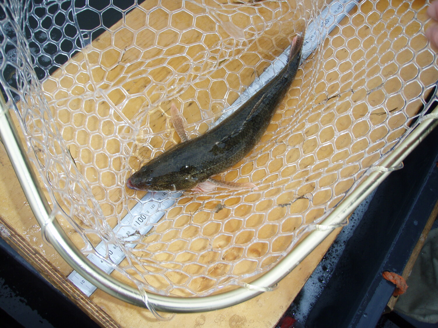
The science team continued to monitor water quality and fish populations throughout the flood.
Water quality monitoring, led by Dr Sha sha Liu (CSU), focusses on measuring dissolved oxygen concentrations, water temperature, turbidity, and conductivity. Data is collected both by handheld meters and by a network of loggers that continuously monitor water quality, day and night.

“Monitoring changes in dissolved oxygen is critical to inform water managers and the community,” says Robyn. “One of the major environmental concerns about the floods is that it can result in hypoxic blackwater conditions (low oxygen, carbon rich water) that can cause stress or death of fish and other aquatic animals.”
Sha sha and her team also collect water samples to report on concentrations of carbon, nutrients and chlorophyl (algae). During the flooding it was difficult to access some of the water quality loggers.

"The problem we had during the floods is that a lot of our water loggers were well and truly under water and could not be retrieved to be maintained,” says Robyn. “We could not get access to some of them and had to wait for the floodwaters to recede to retrieve them. This means we will have some missing data, but we continued to monitor where we could, so we get enough data that is useful to understand what is going on across the system.'"

Monitoring of fish spawning is led by Dr Nicole McCasker (CSU), and the fieldwork is undertaken fortnightly by John Trethewie (CSU) and staff from NSW DPI Fisheries. The team were in regular contact with local landholders who provided vital information about local conditions so that John and his team could access monitoring sites from whatever roads were open on the day.
Monitoring of riverbank and aquatic vegetation is undertaken by Sasha Healy (Murray-Darling Wetlands Working Group) at a series of permanent transects. “The transects are all on the riverbank and within the river channel (not on the floodplain), so all our sites were well and truly under water for some time” says Robyn. “Sascha hasn’t been able to do the monitoring for a few months so it will be really interesting to see how the riverbanks have changed when the floods recede.”
“Members of the team have been working in the Edward/Kolety–Wakool river system since 2010, and we have seen it under a wide range of conditions ranging from drought through to floods. Our partnerships with local landholders, community organisations and agency staff are vital for the success of the monitoring and research.
“The results we collect from the fieldwork are used to guide real time management of Commonwealth environmental watering during the flooding. The monitoring information is shared with managers from multiple agencies who have been meeting weekly during the flood to discuss and plan their response to the flood and release fact sheets to inform the community. The outcomes of the hard work that we have put in during the floods will also contribute to future adaptive management of environmental watering.”

%20(1).webp)
.jpg)